Applied Geophysics Lab (AGL)


Overview
This is a multidisciplinary laboratory able to conduct field surveys using electrical, electro-magnetic and seismic methods. Given the diverse disciplines involved, the AGL has two lab coordinators, Stéphanie Dumont (electrical and eletromagnetic methods) and Luis Matias (shallow seismic methods).
Most of the instruments available in AGL are dedicated to shallow geophysical investigations. These include archeology, hydrology, agriculture, seismic microzonation. The magnetoteluric instruments (MT) have been used for deep investigations, namely the characterization of the crust, its heterogeneity and anisotropy.
Most of the instruments have been used for undergraduate and graduate students training, activities integrated on course disciplines such as "Seismic Prospecting", "Applied Geophysics" and "Geophysical Prospecting" as well as investigation. Resistivity meter and MT instruments were also used to provide services.
Instruments have been used, and are currently used, to acquire data for several PhD projects that resulted in scientific communications. The post-graduate and research activities have been funded by National and International projects.
In addition to involve various members of IDL, AGL actively collaborates with researchers and professors from different research units in Portugal, and in particular, with Gonçalo Vieira (IGOT, Lisboa), Mohammad Farzamian (INIAV, Oeiras), and Joana Alves Ribeiro (CITEUC, Coimbra).
Currently the AGL instruments are used by 2 PhD students, one on electrical and electromagnetic methods and the other on shallow seismic methods.
Infrastructure
The Applied Geophysics Lab facilities are placed at the IDL location on the FCUL Campus.
Equipment for electrical measurements include:
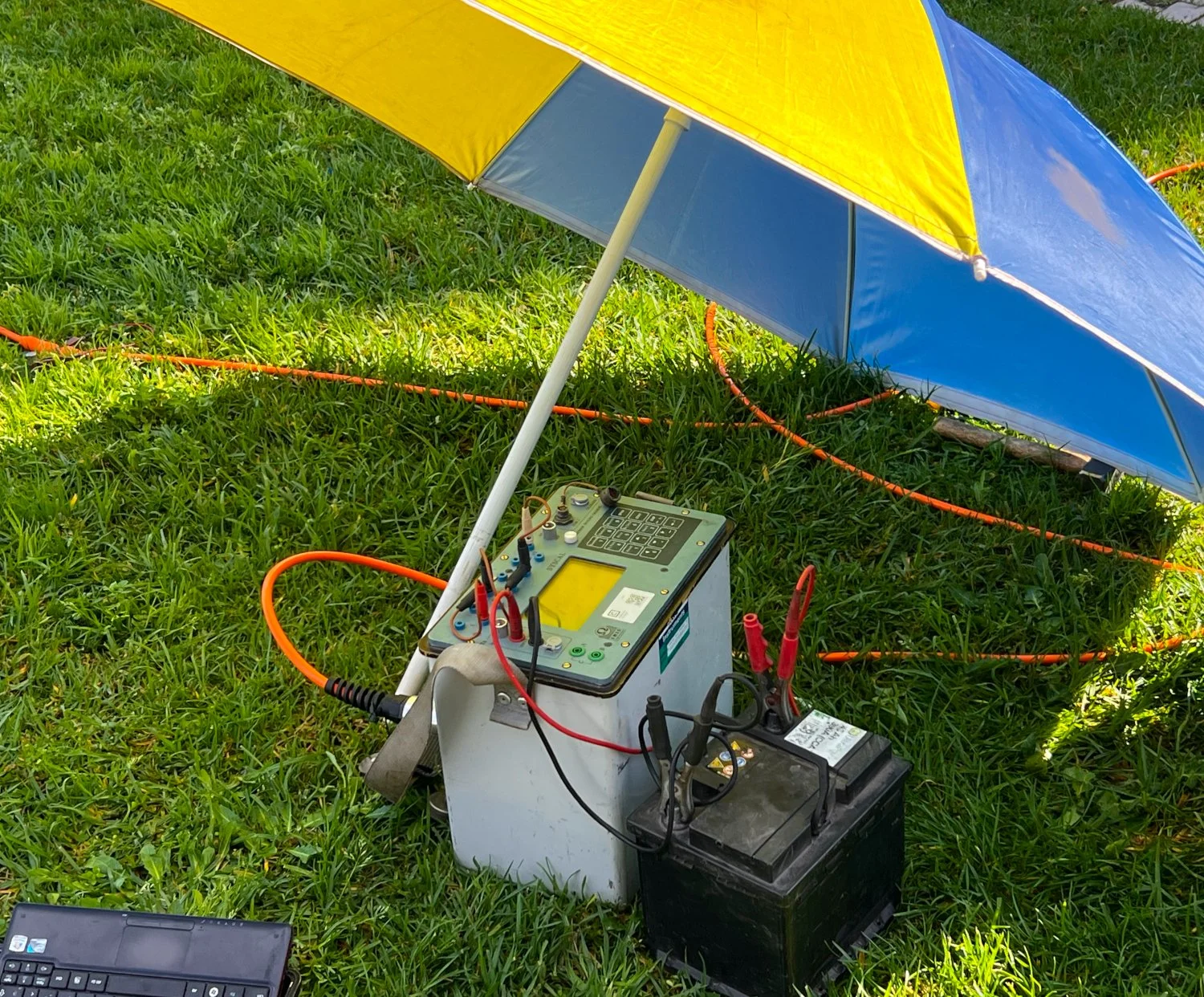
Syscal Pro Resistivity meter (IRIS Instruments) with multicore cables and steel electrodes
Earth resistivity meter 4point light hp (Lippman Geophysical Instruments)
Earth resistivity meter 4point light 10W (Lippman Geophysical Instruments)
Equipment for electromagetic measurements include:
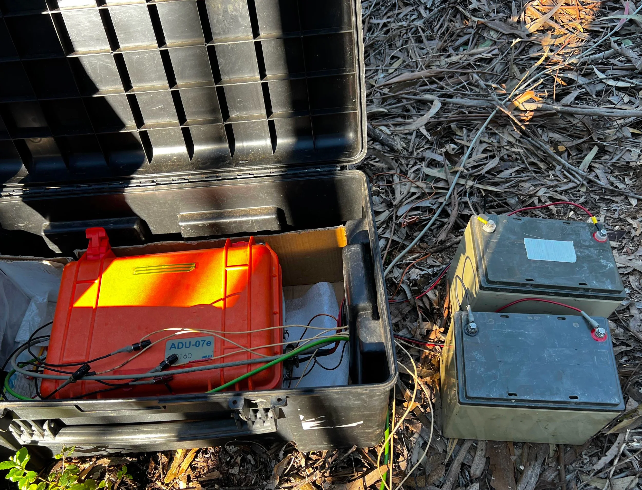
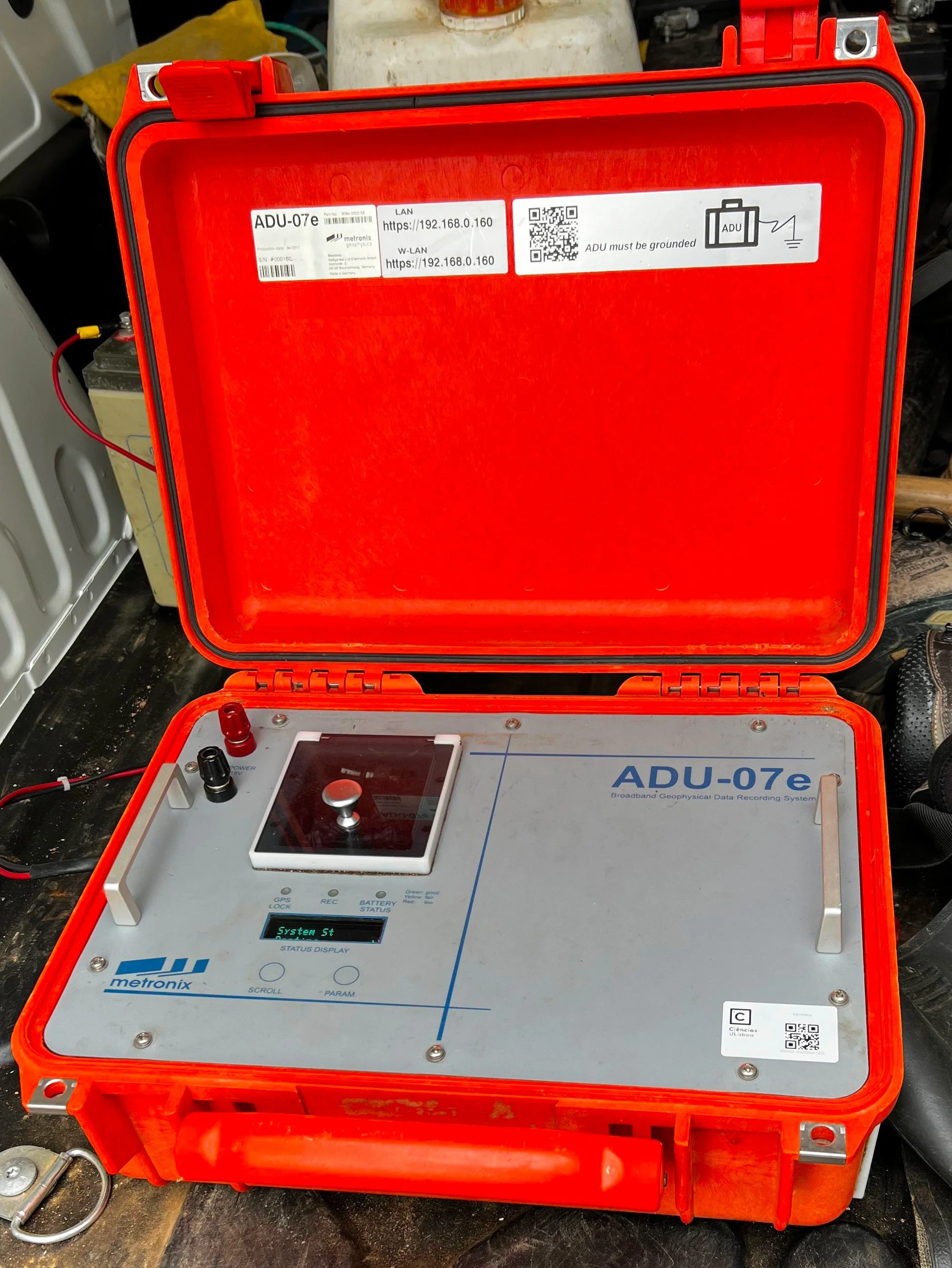
the ADU-07e Multi-Method Network recording System (Metronix Geophysics) with coil magnetometers and non-polarizable electrodes for magnetotelluric measurements
Ground Penetrating Radar (Geophysical Survey Systems Inc.) with two antenna of 400 and 200 MHz
EM38B-RT ground conductivity meter (Geonics Limited)
Equipment for gravity measurements:
2 LaCoste & Romberg Model G gravity meters
Equipment for shallow seismic investigations
SeisTronix RAS24
24 5 Hz geophones
24 15 Hz geophones
Main highlights
Scientific highlights
Acquisitions of autonomous ERT data as part of the ANTERMON (http://antermon.weebly.com) and PERMANTAR networks (http://permantar.weebly.com/) which include now 6 permanent permafrost observatories in the Western Antarctic Peninsula. Their primary objective is to collect an interdisciplinary data set providing key insights on the role of climatic variations on permafrost dynamics in the Antarctic Peninsula, contributing to the Global Terrestrial Network on Permafrost.
the first 3D-resistivity model of the large-scale resistive/conductive crustal domains of Portugal mainland was obtained from 31 broadband Magnetotelluric stations as part of the MAG-GIC project ( PTDC/CTA - GEO/31744/2017), providing new insights into geological structures on the national territory.
Characterization of the lithopsheric structure of the Iberian Pyrite Belt using Magneto-telluric data
Characterization of the hydrothermal system of Fogo volcano (Cape Verde) using self-potential measurements as part of the project FIRE (PTDC/GEO-GEO/1123/2014)
The shallow seismic exploration equipment has been used mainly to investigate the shallow seismic structure in the Lisbon area for microzonation and the investigation of site effects.
Societal highlights
participated in the hazard assessment associated with geomagnetically induced currents in high-voltage power lines for Portugal mainland (MAG-GIC: PTDC/CTA - GEO/31744/2017)
conducting geophysical surveys and especially, electrical resistivity tomography (ERT) acquisitions for Portuguese private companies (Agência Portuguesa do Ambiente -APA; Sociedade Mineira Neves-Corvo SA – SOMINCOR; or Fundação INATEL) with applications mainly associated with water management.
The seismic characterization of the shallow structure in urban areas like Lisbon has a main societal impact since it is used for urban development strategies and for the characterization of seismic risk that contributes to emergency planning by Civil Protection Authorities.
Future prospects
AGL's endeavors are synchronized with IDL's overarching mission, enriching the comprehension of crustal to subsurface structures and associated processes through enhanced geophysical characterization. Specifically, AGL will continue its pursuit in geophysical exploration and investigation, providing support to PhD and master students, as well as to IDL researchers. AGL will focus notably but not only on fluid characterization to address various hydro-geological challenges. This includes detecting water contamination, monitoring hydrothermal and magmatic fluids and identifying hydrothermally-altered rocks in volcanic and geothermal regions. AGL aims also at fostering interdisciplinary approaches to gain deeper insights into the interactions between water layers and rock as well as their temporal evolution which may express the internal dynamics, the influence of external forcing such climate variations or both. This manifests by AGL participation to the ANTERMON and PERMANTAR networks in Antarctica through a collaboration with IGOT and INIAV, participating in the data collection allowing the assessment of the effects of climate changes on permafrost.
Contact Person
Address
FCUL, Campus, C6 Ground floor